



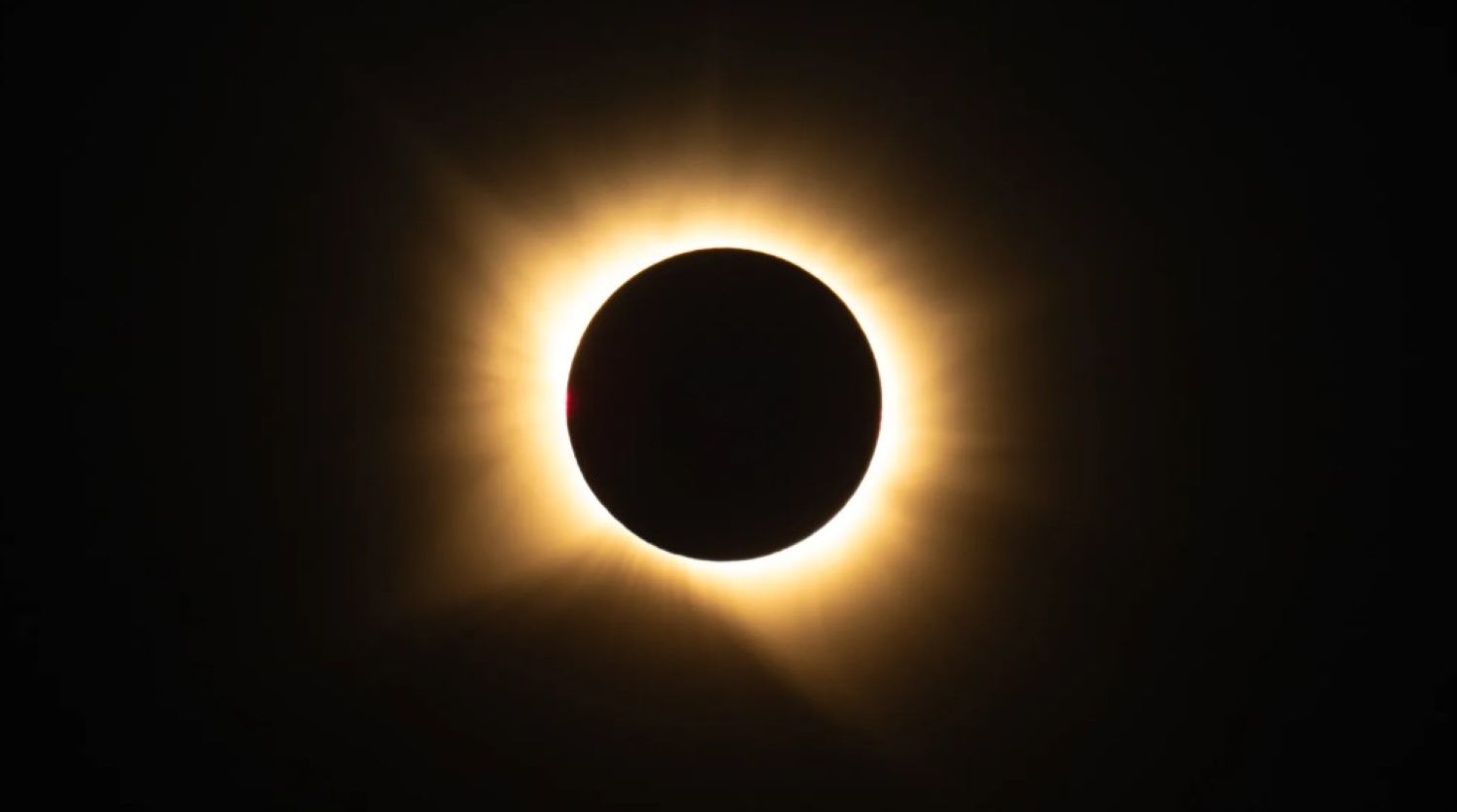
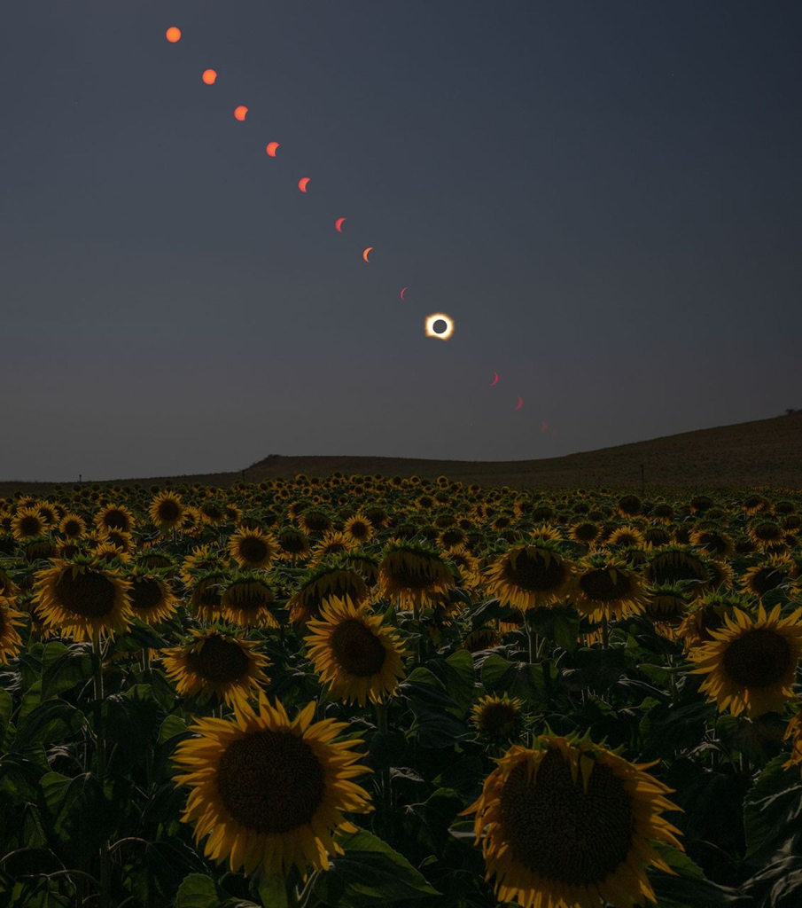
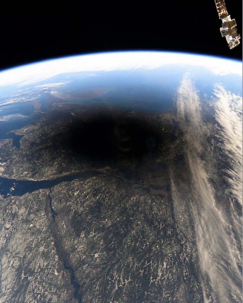
From the ground in Spain, the August 12, 2026 total solar eclipse felt like someone hitting the dimmer switch on the universe. From orbit, it looked like something else entirely — a dark bruise sliding silently over the top of the planet. NASA’s imagery from space turns a sky event into something you can actually see happening to Earth, and that shift in perspective is harder to shake than you might expect.
A Shadow the Size of a Small Country
The Moon’s umbra carved a narrow corridor across the Northern Hemisphere, and if you weren’t standing directly underneath it, you missed the main event entirely.
The umbra — the narrow central zone where sunlight is completely blocked — traced a path from Siberia across the Arctic, over Greenland and Iceland, down through the North Atlantic, and into Spain and a sliver of Portugal. Everything outside that corridor fell into the penumbra, the broader partial shadow where the Sun dims but never disappears. Most of Europe watched a partial eclipse. Only the narrow band underneath the umbra got the full blackout.
Key facts from NASA’s eclipse coverage:
- The umbra is only a few hundred miles wide at most — which explains why totality is so rare from any fixed point on Earth
- Totality path ran: northern Siberia → Arctic → Greenland → Iceland → North Atlantic → Spain → small corner of Portugal
- NASA captured ground-level imagery from San Millán de los Caballeros, Spain
- NASA’s Scientific Visualization Studio produced animated simulations of the shadow path
That narrow width deserves a moment. Earth’s surface spans nearly 200 million square miles. The umbra covers only a vanishingly small fraction of it at any given instant. Standing in totality isn’t luck — it’s a very specific geographic argument.
Why the Orbital View Changes Everything
NASA’s space-based and aircraft imagery reframes the eclipse from a personal sky event into something you can watch happen to an entire planet.
NASA released imagery from both space-based platforms and aircraft tracking the event, and the orbital perspective does something no ground photo can. Standing in San Millán de los Caballeros, you experience darkness, a corona, and maybe a little existential vertigo. The shadow, meanwhile, has edges. It moves. It’s a physical object crossing a physical planet — less like a supernatural event, more like a Venn diagram drawn in real time across a spinning sphere.
NASA’s Scientific Visualization Studio also released animated simulations of the full shadow path. Think of it as the eclipse rendered in the same visual language as a weather satellite loop — suddenly, the geometry clicks in a way that standing under totality, eyes fixed on a hidden Sun, simply cannot deliver.