



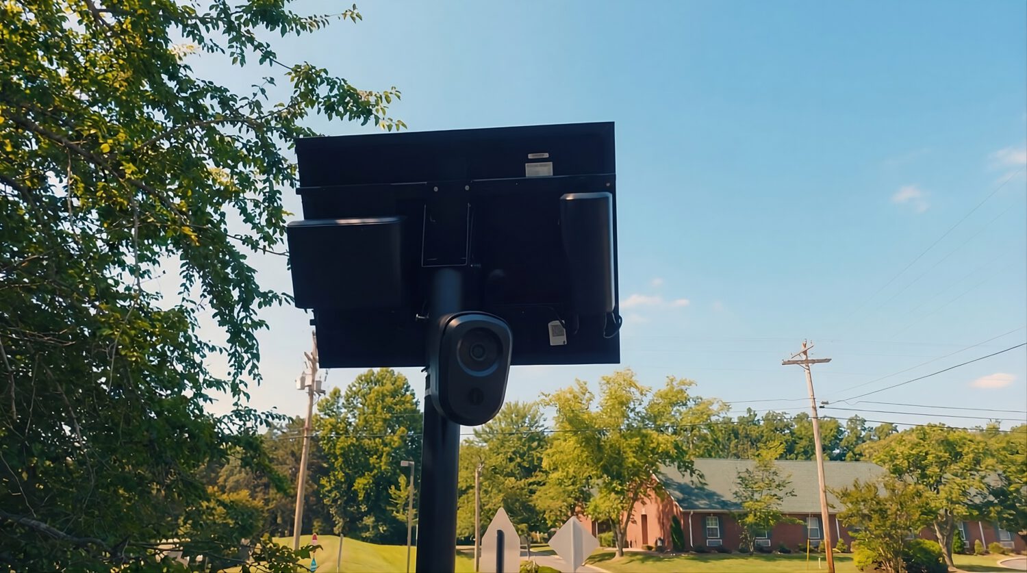
According to the Electronic Frontier Foundation, more than 1,800 agencies have deployed automated license plate readers, and at least 4,000 agencies can search Flock Safety network data through interagency access arrangements. A plate read in one county can surface in a database query filed hundreds of miles away. In May 2025, EFF documented a Texas case in which law enforcement searched data from more than 83,000 ALPR cameras to track a single individual’s movements. That is not a targeted investigation tool. That is a dragnet with a search bar.
The infrastructure expands quietly. Your ability to audit it does not have to.
Crowdsourced Databases and Live Maps
Community volunteers are building the public camera directories that vendors have never offered.
Vendors do not generally provide a complete public inventory of their hardware, so residents have started mapping it themselves. DeFlock, built on OpenStreetMap, has cataloged more than 140,000 active cameras in the United States. Contributors log camera direction, the street watched, the operator, and the first-reported date, giving researchers a street-level picture of what is watching and from where.
Flock Camera Locations reportedly tracks upward of 150,000 cameras across North America. Its “Camera Watch” feature purportedly sends email alerts when new hardware appears within a chosen radius, and a 60-day visual replay is said to highlight newly installed units as they appear. Those specific features have not been independently verified here; treat every entry on either platform as a lead, not a confirmed inventory, and check current developer documentation before relying on any feature.
Navigation Tools for the Road
Several apps attempt to give drivers real-time awareness of camera density, though key features remain unverified.
Desktop research tells you where cameras are. FlockHopper functions as a turn-by-turn navigation app that reportedly routes drivers around high-density surveillance corridors and sounds proximity alerts. Compatibility with Apple CarPlay and Android Auto has not been independently verified; consult the developer’s current documentation before relying on those integrations.
FlockFree runs on Android and reportedly pairs crowdsourced mapping with optional DIY hardware. ESP32 microcontrollers, according to its developers, can detect wireless signals near roadside camera clusters. That signal-detection claim involves technical and legal complexity that has not been independently verified, so treat it as experimental.
MapQuest now offers a surveillance overlay that pulls from municipal registries and public mapping projects to mark known fixed plate readers on a standard navigation map. That a mainstream mapping platform has added this as a standard toggle reflects how visible this infrastructure has become, even if the overlay’s coverage remains incomplete.
Institutional Trackers and Public Records
Physical maps show camera locations; public records show who controls the data and under what rules.
The EFF Atlas of Surveillance, a joint project with the Reynolds School of Journalism at the University of Nevada, Reno, tracks agency-level adoption across more than 11,700 documented deployments. It identifies vendors, technology types, and reported camera counts at the agency level; it is not a pole-by-pole inventory. Cross-reference every entry against procurement contracts, grant records, and city council meeting minutes to get the full picture.
Municipal transparency portals vary widely by jurisdiction. Some may disclose camera counts, retention rules, or related records where they exist at all.
Flock’s published default is a seven-day rolling deletion schedule, not the 30 days sometimes cited in public materials. Customer contracts and applicable law can extend that period to as long as one year under Flock’s stated conditions. Your municipality’s contract may say something different from the vendor default, so request it directly.
What a Map Cannot Do
No community map is complete, and route-planning around known cameras addresses only a fraction of your actual exposure.
Avoiding a mapped camera does not eliminate your vehicle’s exposure to the broader network; it removes one data point from a system designed to collect thousands. The accountability that actually reshapes policy comes from public-records requests, contract review, and sustained engagement with elected oversight bodies. Warrant standards, cross-state data sharing, and protections around visits to medical or reproductive-health locations are the questions that will define what this infrastructure becomes. A map gets you to the table. The harder work begins there.