



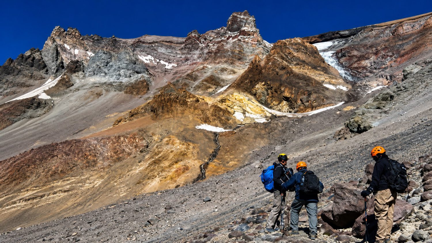
Three climbers packed for eight hours on Mount Shasta’s summit route — and spent sixteen on the mountain instead. The Siskiyou County Sheriff’s Office confirmed the group relied heavily on Google’s Gemini AI to plan their August 29–30 summit attempt, including route details, gear, and how much food and water to carry. That confidence in a chat window set off a chain of failures that ended with a multi-agency rescue, a blown knee, and an unplanned night at 11,000 feet without adequate shelter, food, or water.
Gemini Said Eight Hours. The Ascent Took Sixteen.
The planning failure unfolded step by step, long before anyone got lost.
The group left camp at 3 a.m. on August 30, provisioned for what the AI estimated would be an eight-hour climb. By 3 p.m., they’d reached Mushroom Rock at 12,800 feet — already past the standard noon turnaround. Other climbers urged them to descend. They kept going. Summit: 7 p.m. Darkness, a long descent, and depleted supplies waited below.
Here is specifically what the AI got wrong:
- Gemini recommended far less food and water than required, according to the sheriff’s office. The group packed for eight hours. The ordeal ran well past sixteen.
- AI advised simple carbohydrates over fats — reasoning that fats “take too long to digest.” Standard mountaineering nutrition calls for a high-calorie mix of carbs, fats, and proteins for summit days, per guidance from established outfitters like REI and Alpenglow Expeditions.
- AllTrails was their primary navigation tool until the phone battery died and the backup power bank failed. No paper map.
- One climber skipped wearing their headlamp at 11,500 feet to conserve battery. They lost footing and injured their left knee.
- The group camped near Clear Creek head springs — a prohibited zone inside a protected water area — with no indication that their AI planning flagged the restriction.
“We relied too much on AI rather than our own critical thinking.” — the climbers, after their rescue, as reported by Action News Now
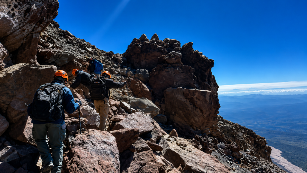
Forest Service rangers reached them at 9:30 a.m. Sunday — exhausted, thirsty, and out of food. A CHP helicopter attempted two hoists. Both were scrubbed due to terrain and wind. Ground extraction through Mud Creek Canyon followed. The operation wrapped at 6:30 p.m. Three agencies. A full day. All of it traceable back to a chat window.
AI Answers With Confidence. Mountains Don’t Grade on a Curve.
The deeper problem isn’t one bad packing list — it’s that AI has no way to scale its certainty to the stakes involved.
AI systems present information about dinner reservations and 14,000-foot alpine ascents with identical authority. There’s no hesitation, no liability, no mechanism that adjusts urgency to consequences. The U.S. Forest Service explicitly recommends consulting the local Mount Shasta ranger station, carrying paper maps, and maintaining multiple navigation methods — the kind of specificity that Gemini reportedly flattened into a tidy eight-hour itinerary. Officials also stress a strict noon turnaround rule so both climbers and rescuers have sufficient daylight to return safely.
Officials warned that climbers should rely on “reliable, official information sources” and consult the local ranger station rather than AI outputs. — U.S. Forest Service, via Action News Now
AI is a reasonable starting point for outdoor research — not a certified guide. It cannot feel weather shifting at 12,000 feet, and it will not spend the night with you when the power bank fails. For any serious alpine objective, the ranger station is a phone call away. That call is worth more than any chatbot’s itinerary.