



The Space Launch System’s upper-stage burns reportedly altered ionospheric electron density enough to introduce meter-scale positioning errors. The findings are preliminary, but the implications grow more relevant as powerful launches become routine.
When Precision Navigation Meets an 8.8-Million-Pound Rocket
High-precision positioning underpins surveying, tectonic monitoring, and autonomous systems, and a large enough rocket may temporarily affect that margin.
For high-precision applications such as surveying and geodesy, GPS accuracy measured in centimeters is an operational requirement, not a convenience. Researchers from National Cheng Kung University in Taiwan now report that the April 1, 2026, Artemis II launch introduced temporary positioning errors of several meters into ground-based GPS measurements across North America, though those findings could not be independently verified from available sources and should be treated as preliminary.
The Mission Itself Is Confirmed
NASA confirms every key detail of the Artemis II launch, crew, and mission profile.
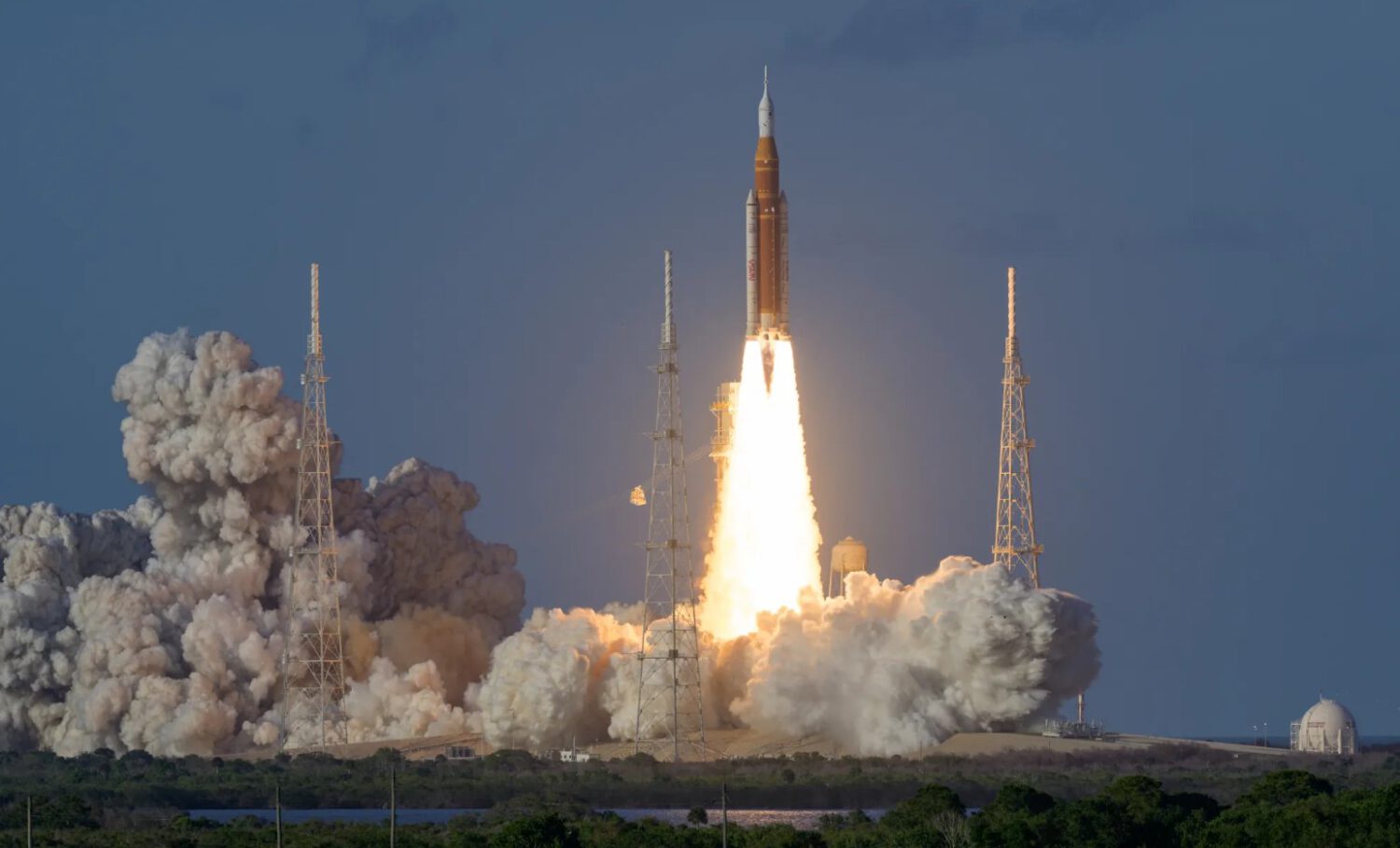
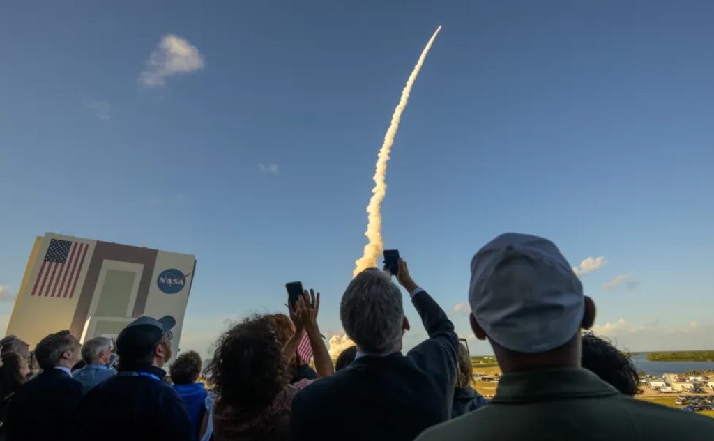
NASA confirms that Artemis II lifted off from Launch Complex 39B at Kennedy Space Center on April 1, 2026. The crew included Reid Wiseman, Victor Glover, Christina Koch, and Canadian astronaut Jeremy Hansen, making it the first crewed mission to fly past the Moon since the Apollo era.
What the Researchers Examined
The Taiwan-based team analyzed ground-based GPS data to track how the launch altered the ionosphere’s electron density.
According to the study description, the National Cheng Kung University team used high-precision ground-based GPS receivers to measure changes in free-electron concentration following the launch. The underlying paper and journal record could not be independently confirmed from available sources, so all numerical claims carry that caveat.
Why the Ionosphere Matters for GPS
GPS signals pass through the ionosphere, a charged upper layer of the atmosphere where shifts in electron density change how fast those signals travel.
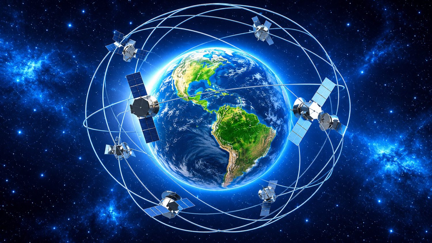
GPS receivers calculate position by timing signals from multiple orbiting satellites. Because those signals must pass through the ionosphere, shifts in free-electron concentration can alter signal travel time and introduce errors into the receiver’s distance calculation.
Two Disturbances, One Launch
Researchers reportedly identified separate ionospheric disturbances tied to the core-stage ascent and the upper-stage burns.
The study description says the launch produced two distinct ionospheric disturbances: one associated with the SLS core stage during ascent, and a second, reportedly stronger one tied to upper-stage engine burns that occurred inside the ionosphere itself. The disturbances reportedly extended broadly across North America, though the specific figures require confirmation from the original paper.
Meters of Error: Who It Affects
A few meters of error is negligible for ordinary navigation but operationally significant for precision applications.
Errors of several meters will not affect a driver following turn-by-turn directions. For high-precision surveying, tectonic monitoring, drone navigation, and some autonomous vehicle positioning, that same margin can affect data quality or system reliability.
Context: Rockets Versus Solar Storms
Solar activity can disrupt navigation signals across entire hemispheres for hours; rocket-induced disturbances are more geographically bounded and shorter-lived.
Solar storms can degrade navigation signals across wide areas for hours or days. Rocket-induced ionospheric disturbances are generally more geographically bounded and temporary. GPS infrastructure continued operating throughout the Artemis II event, according to the research description, though that claim also awaits independent confirmation.
A Pattern Worth Tracking
Upper-stage burns inside the ionosphere may represent an underexamined variable as launch cadence increases.
As Artemis and other programs increase crewed and robotic launch frequency, upper-stage burns inside the ionosphere become a more operationally relevant variable for precision navigation. NASA describes Artemis II as a foundation for a sustained human presence on the Moon. That framing makes the atmospheric consequences of increasingly routine heavy-lift missions an area that warrants continued study.