



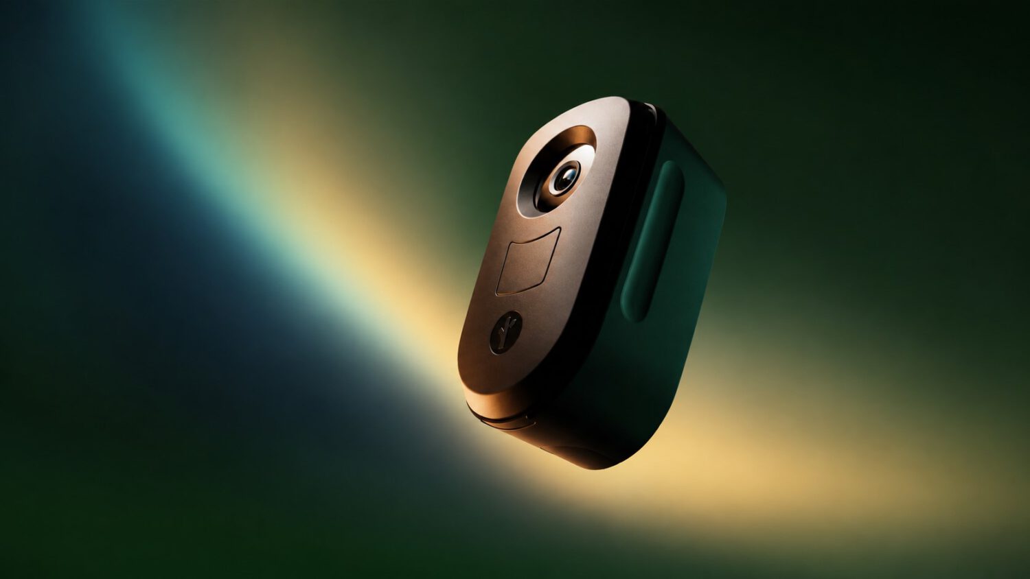
MapQuest has added an optional Surveillance Layer that displays reported locations of outdoor surveillance cameras and automated license-plate readers (ALPRs), including Flock Safety devices, directly on its consumer map.
ALPRs can photograph vehicles within the camera’s field of view and may record each plate number alongside a timestamp and location. That data may be accessible to law-enforcement agencies and other authorized organizations, according to reporting by The Next Web.
The feature makes that infrastructure visible on an everyday navigation app, which is a notable step for consumer mapping services.
How to Turn It On
Enabling the layer takes only a few taps inside MapQuest’s existing map controls.
Open MapQuest, tap Map Options, and enable the Surveillance Layer. It sits alongside the existing traffic and incident layers.
The layer covers Flock Safety equipment as well as devices from Motorola Solutions’ Vigilant, Genetec, Axis Communications, Axon, Leonardo’s ELSAG, Neology, Rekor, PlateSmart, Ubicquia, and Verkada, according to Engadget. MapQuest announced the feature on social media with the tagline “The Roads Have Eyes!”
Location data underlying the layer is crowdsourced, per The Next Web, meaning users contribute camera sightings they observe in the field. Coverage and accuracy vary by location.
What ALPRs Actually Do
ALPR systems collect plate, time, and location data that can be shared across agencies and authorized organizations.
An ALPR system can photograph vehicles within the camera’s field of view. It may record each plate number alongside a time and location, though what is retained and how precisely depends on the specific deployment.
The resulting records can be searched, cross-referenced, and in many jurisdictions shared between agencies or with authorized third parties. Policies and applicable laws vary by operator and location.
Supporters argue these networks help investigators locate stolen vehicles and find missing people, according to Fox 13 Seattle. Critics counter that building persistent, searchable records of where ordinary vehicles travel raises civil-liberties concerns about the use of a surveillance app.
What the Map Can and Cannot Tell You
The layer reflects reported camera deployments, not a verified real-time inventory of every active device.
The Surveillance Layer shows reported locations, not a guaranteed complete account of all operating cameras. Devices can be installed, relocated, or removed after the underlying crowdsourced data was last updated.
Avoiding a marked location does not mean your plate goes unread, because an unreported camera nearby may still be operating. The practical value of the layer is closer to knowing where the speed bumps are than to having a reliable way around them.
Your commute, your regular school run, the block around your office: the layer can show how densely surveillance equipment is reportedly concentrated along those paths. That visibility can support more informed conversations about local policy and camera placement, even if it does not change what happens when you drive past.
What MapQuest provides here is transparency, not cover. The layer gives you a reported snapshot of the surveillance infrastructure along your regular routes, not a workaround for tracking users or data collection.