



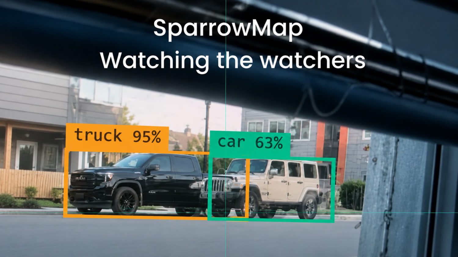
Flock Safety sells license-plate readers to police departments at scale. Municipalities pay for the infrastructure. Officers log in. The data accumulates. SparrowMap inverts that equation with hardware you already own — an old Android, a laptop webcam, a $30 USB camera — and points it back at the apparatus doing the watching. Whether that’s accountability or just poetic irony dressed up as software depends entirely on who’s pointing the camera, and why.
Your Old Phone as a Surveillance Counter
The project runs on devices most people have sitting in a drawer, and that’s the whole point.
Here’s what SparrowMap reportedly does, based on the project’s own description and its GitHub footprint:
- Detects, classifies, and maps government vehicles in real time using standard consumer cameras
- Requires no specialized hardware — an old phone, laptop webcam, or USB camera all qualify
- Lives on GitHub as an open-source project, with at least one documented maintenance update in February 2022 addressing “broken maps”
- Targets an audience of privacy advocates, OSINT practitioners, and digital-rights hobbyists comfortable with open-source tooling
No official developer is publicly attributed in available sources. No version history, formal release channel, or current maintenance status has been independently confirmed. That’s not a minor footnote — it’s a meaningful caveat for anyone considering deployment.
Counter-Surveillance or Just Surveillance With Better PR?
The computer vision stack watching you from a Flock camera is the same stack SparrowMap runs on — the difference is framing, funding, and who controls the data.
Object detection, real-time classification, geospatial mapping — these aren’t inherently accountability features. They’re surveillance features. The project positions itself as public accountability tech, which is a reasonable argument worth taking seriously. It also deserves scrutiny rather than automatic applause.
What remains genuinely unknown: model accuracy, supported vehicle classes, detection latency, offline capability, and storage requirements. The surveillance normalization that made Ring doorbell footage a routine part of police investigations didn’t happen because the technology was neutral. “Safety” proved to be an easy sell. “Accountability” is the same pitch with different branding — and that tension deserves honest acknowledgment, not a pass.
The Passive Citizen Assumption Is Cracking
The surveillance economy was built on one bet: that ordinary people wouldn’t push back technically.
SparrowMap, limitations and all, suggests that bet is aging poorly. The harder question isn’t whether this tool works as advertised. It’s what a world looks like when every actor — government, corporate, and civilian — deploys the same vision stack in every direction simultaneously. That stopped being a hypothetical a while ago.