



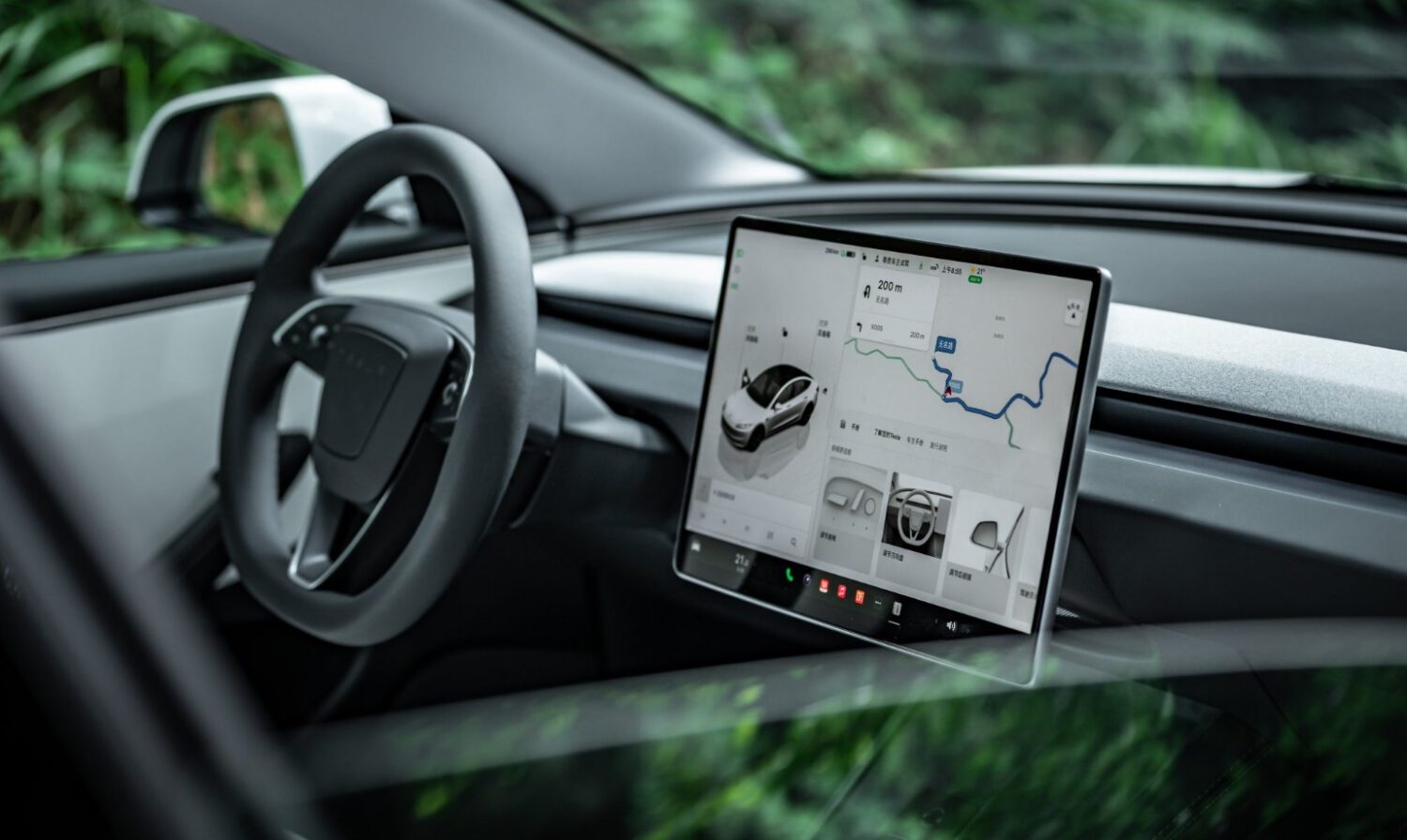
During the Q3 2026 earnings call, VP of AI Ashok Elluswamy confirmed that Tesla is developing a proprietary AI-based mapping and navigation architecture for Full Self-Driving. The system will draw on collective data from the consumer fleet, incorporate individual driver preferences, and support voice-based route requests. Concerns about Tesla Robotaxis operating autonomously have added urgency to questions about how reliably these systems handle real-world conditions.
What Tesla Actually Announced
The rollout is phased, with the first functions expected in FSD v15 and broader capabilities following in subsequent months.
According to Tesla North, v15 covers the start and end of trips first, with navigation, parking, and destination handling arriving later. Map precision, fleet-data validation, geographic coverage, update frequency, and privacy controls remain unspecified.
A Position That Has Shifted
Tesla’s relationship with maps has changed direction more than once, and the current announcement continues that pattern.
In 2015, Tesla reportedly told Fortune it was already building detailed maps using customer vehicle data, though that account requires a primary source to confirm before it can be treated as established fact. At the 2019 Autonomy Day event, Elon Musk reportedly called high-precision lane maps a major mistake, arguing that dependence on them made autonomous systems brittle; that characterization also needs verification against the official recording or transcript before it can be quoted directly.
The current announcement is not a clean reversal if the new system is primarily a dynamic AI navigation layer rather than a prebuilt lane-level HD map. It is, however, a meaningful retreat from the broader position that FSD should not need a Tesla-controlled map layer at all.
Tesla Versus Waymo: A Structural Difference
The two companies share a reliance on fleet-derived data but differ substantially in method, precision, and operational design.
Waymo uses dedicated sensor-equipped vehicles, lidar, and tightly geofenced service areas to build and maintain its maps before and during operation. Tesla is relying on a much larger consumer fleet and a generalized, AI-generated mapping approach. Both systems use fleet-derived environmental knowledge; the precision, validation methods, and operational scope differ in ways neither company has fully disclosed in comparable terms.
Why Speed Limits Are the Real Issue
Accurate speed-limit data is a safety question, not a convenience feature.
A shareholder question on the earnings call identified three specific FSD problems: speed-limit recognition, parking, and typical route selection. Incorrect speed-limit data directly affects vehicle speed selection and driver expectations.
Electrek reported that a Belgian road-safety group found FSD exceeded limits in 55 percent of tested 30 km/h zones in Brussels. The vehicles reportedly averaged 44 km/h while the dashboard display showed 50 km/h. That finding requires independent verification against the organization’s original test report before it can be treated as established fact. Separately, Electrek reported that the U.S. National Highway Traffic Safety Administration was considering an investigation into Tesla Robotaxis exceeding limits in active school zones. The inquiry reportedly involves approximately 1,000 Model Y and Cybercab vehicles, and that status should be confirmed through official NHTSA documentation.
What a Map Layer Does and Does Not Prove
Proprietary maps add another source of environmental information; they do not demonstrate readiness for unsupervised operation.
The actual test will come from independent measurement: whether speed-limit compliance, parking behavior, and route selection improve in real-world conditions. No such independent evidence is cited here, and the earnings-call transcript does not provide a validation timeline.