



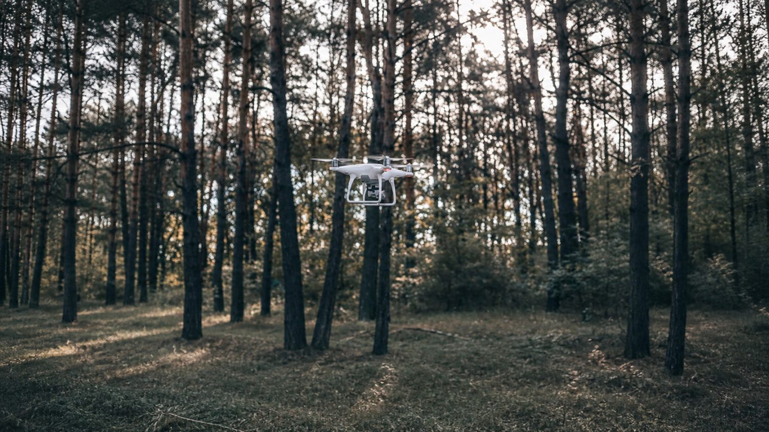
Purdue University’s IDEAS Lab professor Aniket Bera shared a video of a quadcopter weaving between trees and tracking a person through a forest, with no satellite positioning, no preloaded map, and no remote server making the decisions. The reported decision-making runs entirely onboard, a design choice with real consequences for how capable autonomous drones can operate in GPS-denied environments.
What the Video Actually Shows
The footage depicts a quadcopter threading around tree trunks and branches while maintaining a lock on a moving human target.
The target periodically disappears behind trees. According to Bera’s post, the system uses an occlusion-prediction step to estimate the person’s likely path until they re-enter the camera’s view.
Obstacle avoidance and course corrections also happen onboard. Flying close to branches at speed makes cloud-dependent decision cycles impractical.
No peer-reviewed publication for this specific forest flight has been confirmed in the available material. All performance descriptions come from the demonstration video and Bera’s accompanying post.
How It Navigates Without GPS
Without satellite positioning, the drone relies on onboard sensing and real-time local mapping to understand its surroundings.
Available reports attribute this capability to a combination of local sensing, mapping, and motion prediction, though accounts differ on whether the localization is primarily visual-inertial or LiDAR-inertial. The video overlays reportedly label the motion planner “SUPER” and the altitude-estimation system “FAST-LIO,” both names associated with open-source projects from the University of Hong Kong’s MaRS Lab rather than documented Purdue-developed systems.
Bera’s post reportedly described the drone as built from scratch but did not mention the Hong Kong lab. The overlay is evidence of apparent software use; it is not proof of the complete hardware and software architecture. The Hong Kong team’s publicly available design files reportedly include a Livox Mid-360 LiDAR sensor and an Intel NUC mini PC as core components.
The Broader Research Context
Purdue holds a separate Army-funded agreement for GPS-independent robotic navigation, though its connection to this specific flight is unconfirmed.
Purdue holds a five-year, $1.5 million cooperative agreement with the U.S. Army Combat Capabilities Development Command Army Research Laboratory, focused on GPS-independent navigation for aerial and ground robots operating together. The available Purdue announcement does not establish that this forest demonstration was conducted under that funding.
The intended system under the Army agreement pairs drones for aerial scouting with ground robots that interpret terrain and execute portions of the mission.
What the Demonstration Does Not Prove
One short, curated clip cannot substitute for repeatable testing across different conditions, platforms, or failure scenarios.
None of the available material identifies regulatory certification, consumer availability, or a published safety case for this system. A single 44-second clip cannot establish reliable performance across varied forests, lighting conditions, weather, flight speeds, or target behaviors.
The open-source components reportedly involved, SUPER and FAST-LIO, lower the barrier for other researchers to replicate or extend this work. That openness also raises unresolved questions about safety oversight and dual-use applications, particularly given the parallel military research context.
Search and rescue teams, filmmakers, and defense planners all share a common challenge: GPS coverage degrades precisely in the dense, complex environments where autonomous navigation matters most. This demonstration offers evidence that onboard AI can address a meaningful portion of that problem. The gap between a 44-second research video and reliable field deployment, however, remains wide and largely unmeasured.