



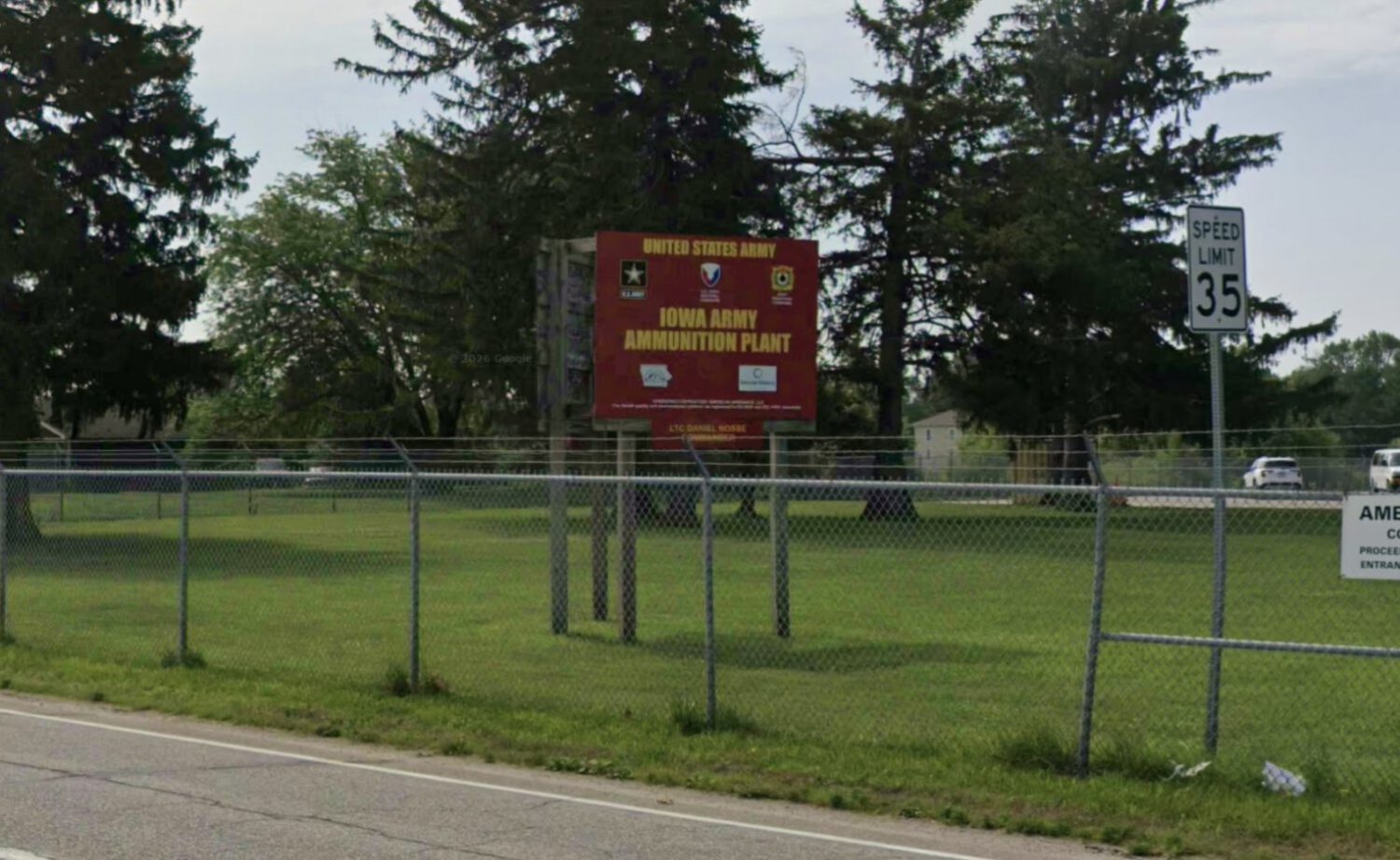
Sixty-eight drums of degraded lead azide are stored at the Iowa Army Ammunition Plant in Middletown, Iowa. The Army has authorized two controlled blasts at approximately noon on Friday, Nov. 20, 2026. The material is simultaneously explosive and toxic, a combination that has narrowed the available options.
As lead azide degrades, it becomes increasingly sensitive to friction and shock. Moving the containers would carry a real risk of accidental detonation, and the Army concluded that in-place detonation was the safest method available.
EPA Authorized the Operation Under Emergency Authority
An emergency permit sets out monitoring, cleanup, and reporting obligations the Army must meet.
EPA issued an emergency permit on Nov. 13 under the Resource Conservation and Recovery Act. The permit authorizes storage and intentional detonation at a location not covered by the plant’s existing hazardous-waste permit.
The permit comes with conditions. According to EPA’s public notice, it “requires the collection of samples and monitoring (pre-detonation, during detonation, and post-detonation), pre- and post-detonation public notifications, implementation of cleanup, and reporting requirements.”
Authorization is not a guarantee of zero contamination. It is a framework that requires the Army to monitor, measure, and clean up what it releases.
A Plume Carrying Lead Particles Is Expected to Leave the Site
The Army’s own advisory warns that lead-containing dust will disperse in the air and settle on the ground.
The Army’s public advisory states: “The detonation will result in an air plume with some lead-containing particles which will disperse in the air and deposit on the ground.” Post-detonation sampling and cleanup obligations are required under the EPA permit.
Where the Plume Could Travel
Modeling currently points toward parts of Mercer County, Illinois, but the actual path depends on weather conditions.
Current modeling indicates that parts of Mercer County in northwest Illinois could fall within the plume’s path. That path will depend on wind direction, wind speed, atmospheric mixing, and precipitation on the day of the detonation. The Army is expected to update its forecasts before and after the operation.
A modeled exposure area is not confirmation that harmful concentrations will occur at every point within it. Post-detonation air, soil, water, and surface sampling will determine where lead actually deposited and at what levels.
What Residents Near the Plant Should Do Friday
Specific evacuation and shelter-in-place guidance has been issued for Middletown and the broader potentially affected area.
Middletown residents in the City Park neighborhood are asked to leave from 8 a.m. to 2 p.m. Those who cannot evacuate should remain indoors with windows and doors closed.
People across the broader potentially affected area, including parts of Mercer County, should avoid outdoor activities during the exposure window and close windows and doors. Set HVAC systems to recirculate until officials confirm the period has ended.
After the Blast, Wait for Official Results
Sampling data, not visible dust alone, will determine where contamination occurred and what cleanup is required.
Do not disturb soil that may be contaminated, and do not dry-sweep dust that could be re-released into the air. Wet cleaning is the preferred method for potentially contaminated hard surfaces because it limits particles from becoming airborne again.
Official sampling results will tell you far more than visible dust alone. Lead is toxic to humans and animals, and children, pregnant people, and anyone who regularly works with soil should follow public-health guidance closely as results are released. Anyone concerned about potential exposure should contact a healthcare provider or local public-health agency.
The Question That Remains After Friday
Where lead particles actually settled, and at what concentrations, will only be answered by post-detonation monitoring data.
What remains unknown is where lead particles will actually settle and at what concentrations, particularly on agricultural land, private property, waterways, and open spaces in Illinois. Preliminary plume maps are modeling tools. Sampling data is evidence. Residents and local officials should track both as the Army and EPA release monitoring results in the days following the operation.