



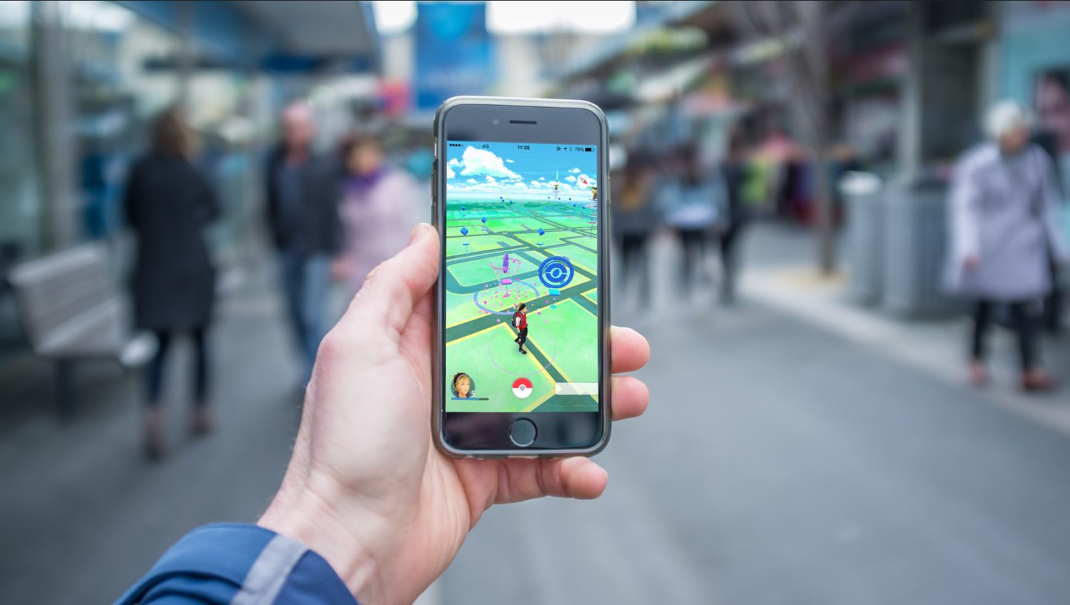
Pokémon Go players who opted in to the game’s AR scanning feature pointed their phones at street corners, storefronts, and park benches to submit environmental scans. That feature had a second career waiting. Niantic Spatial aggregated those scans into a Visual Positioning System trained on more than 30 billion images, according to company-attributed figures. MIT Technology Review reported in March 2026 that the technology is linked to Coco Robotics, which uses it to guide delivery machines through city blocks where GPS alone falls short.
This matters even if you never played either game and never agreed to anything.
How Robots Actually Navigate Your Block
Twelve cameras and a neural network are just the starting point.
Starship Technologies states that its delivery robots use 12 cameras alongside ultrasonic sensors, radar, GPS, and neural-network systems to identify pedestrians, cyclists, animals, traffic signals, and other obstacles. The company says its robots determine their location “down to the inch” by combining computer vision with satellite positioning, though that is a company performance claim rather than independently tested data.
Satellite signals degrade in places where robot delivery is most needed: dense urban corridors with tall buildings, covered walkways, and heavy tree canopies. A vision-based fallback that identifies location from surrounding landmarks rather than satellite geometry becomes commercially valuable precisely in those conditions.
From Catching Pokémon to Mapping the World
A mobile game feature becomes infrastructure-grade spatial data.
Niantic Spatial’s Visual Positioning System works by matching what a robot’s cameras see against a pre-built spatial model of the environment, producing centimeter-level location estimates where satellite signals are unreliable. The model was built, in significant part, from scans that players submitted through opt-in features inside Pokémon Go and Ingress.
The pattern is recognizable. Waze turned ordinary drivers into real-time traffic sensors. Niantic Spatial turned a game mechanic into positioning data for machines operating in pedestrian spaces. MIT Technology Review’s March 2026 reporting identifies Coco Robotics as the commercial partner bringing this technology into last-mile food and grocery delivery.
What Delivery Robots May Collect Along the Way
Serve Robotics’ own privacy policy is the clearest available source on what its fleet records.
Separate from the Niantic system, companies such as Serve Robotics operate their own sensor-equipped fleets. Serve’s privacy policy identifies these categories of data its robots may collect:
- Video recordings
- Audio recordings
- Location and navigation data
- Obstacle-detection data
- Other environmental sensor information
Serve states that it does not use facial recognition and does not seek to identify individuals from robot footage. Those are company policy statements, not independently verified technical constraints.
The Bystander Who Never Agreed to Anything
Mobile robots operating in pedestrian corridors raise privacy questions that fixed cameras do not.
Fixed security cameras cover specific posted locations. Vehicle dashcams face forward on roadways. Sidewalk delivery robots use cameras and other sensors to detect and classify obstacles and environmental features as they move continuously through pedestrian corridors. That mobility is central to how they function. It also means the data collected is not bounded by a fixed field of view or a predictable route.
Serve’s policy confirms that collected information may be disclosed in response to subpoenas, court orders, or other lawful government requests. The policy specifically identifies footage of incidents, accidents, or criminal activity as potentially relevant material.
Routine coordination with specific agencies, the handling of bystander footage, and any commercial resale of environmental data to municipalities or developers are not confirmed by available sources and should not be treated as established fact.
Several policy questions remain unresolved in many jurisdictions: how long footage is retained, what protections apply to bystanders captured incidentally, and whether municipalities should require privacy impact assessments before permitting large robot fleets , a debate that echoes concerns raised wherever new surveillance infrastructure is deployed without public input. Those are the regulatory questions worth tracking as sidewalk delivery expands.