



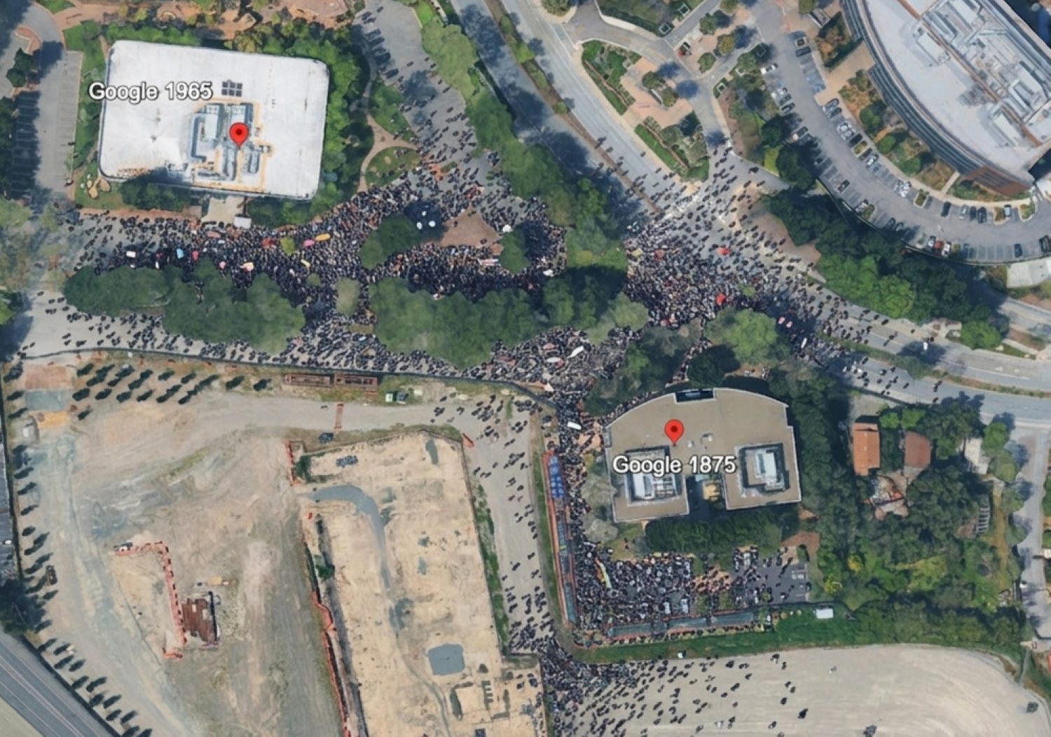
OSINT investigator Henk van Ess typed one sentence into Google Earth. Refugees appeared at the Mexican border. Another sentence planted a nuclear facility in Iran. A third dropped a fatal crash onto an Amsterdam street. All three sat on top of Google’s own verified satellite imagery — real roads, real shadows, real terrain. Google Earth has been a cornerstone verification tool for journalists, fact-checkers, and war crimes investigators for two decades. That foundation just cracked.
Deepfake Geography, Delivered Free
Google’s new AI image generator layers photorealistic fabrications directly onto real satellite imagery, and the results are disturbingly convincing.
Anyone with a browser can now open Google Earth’s web version, click “Create image,” and type a prompt. The AI generates photorealistic alterations layered onto the exact overhead satellite view at those coordinates. The output reportedly inherits real roads, terrain, lighting, and geometry from the underlying map. This isn’t some dark-web hacker tool. It’s free, globally available on desktop web, and the images reportedly pass for authentic at a glance. Learn more about AI-powered websites that are reshaping how people work and verify information online.
Journalists and OSINT professionals tested what the tool can produce, and the demonstrations are stark:
- 404 Media reportedly added skyscrapers to rural land, inserted a homeless encampment into a real section of Los Angeles, and generated a bomb blast and crater — all layered on genuine satellite imagery.
- BBC Verify produced a toppled Eiffel Tower, a sinkhole swallowing the Great Pyramid of Giza, and Russian tanks in Kyiv.
- AFP tests reportedly generated explosions in Paris, a nuclear site in Iran, an Islamic State training ground in Syria, and a migrant caravan at the US-Mexico border.
“Tonight I typed just one sentence into Google Earth and put refugees near the Mexican border. Then I planted a nuclear plant in Iran. Then I put a fatal crash on a street in Amsterdam. Google’s own satellite imagery underneath all three.” — Henk van Ess, OSINT investigator
Before tools like this existed, fabricating convincing satellite imagery required technical skill and separate, specialized software. Now the fake is generated inside the trusted platform itself, using its own imagery. The classic OSINT verification check — does the satellite view match? — is effectively broken by design. As tech writer Aakash Gupta reportedly put it, “anyone on the planet can now fake a nuclear site in Iran, a massacre in Gaza, or a border crisis in Mexico.”
Google’s Safeguards Sound Better Than They Work
Watermarks and content filters exist on paper, but screenshots strip away visible labels and conflict-themed prompts reportedly sail through unchecked.
Google points to invisible digital watermarking and a visible “Custom image” label that appears inside the Earth interface. The company says it blocks “harmful topics.” But that label vanishes the moment someone screenshots and crops the UI — which is exactly how every test image documented by journalists has been shared publicly. Reporters generated explosions, nuclear facilities, and war damage despite the stated filters, suggesting the harmful-topic detection doesn’t reliably classify conflict scenarios as off-limits.
“It’s harrowing and horrific, and it will make verification work much more difficult.” — Ben Heubl, OSINT professional
The watermarking can theoretically be detected by Google’s own tools — if someone thinks to check. Most people scrolling past a viral image on Threads or X never will. Determined actors can crop images, re-encode them, and strip metadata through simple re-encoding steps — much like the secretly tracking users scandal showed how digital tools can misuse data in ways most people never notice. Brady Africk of the American Enterprise Institute warned the update “makes it easier to generate convincing fake satellite imagery that can spread quickly online and mislead the public.”
The Atlantic Council’s Digital Forensic Research Lab has already observed users reportedly fabricating military positions and relabeling buildings. OSINT practitioners are now being advised to:
- Cross-check suspicious imagery against independent satellite sources such as Sentinel-2 or Landsat data
- Avoid sole reliance on Google Earth for verification
The verification arms race just opened a new front. Google fired the starting gun.