



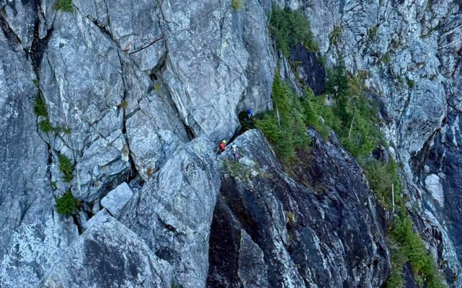
A 16-year-old stood at the base of a vertical headwall called the Widowmaker Arete on Crown Mountain in British Columbia, stranded and frightened, after following a route an AI tool had told him would lead to the summit. North Shore Rescue crews extracted him by helicopter more than ten hours after he set out.
General-purpose AI chatbots can generate outdoor routes that sound authoritative but may have no reliable way to distinguish a hiking trail from exposed technical climbing terrain. CTV News identified the AI tool as Claude, made by Anthropic, though earlier reporting had not named the tool; Gadget Review was unable to independently confirm that attribution before publication.
How a Day Hike Became a Rescue Operation
What began as a morning hike from Grouse Mountain became a technical helicopter rescue spanning most of the day.
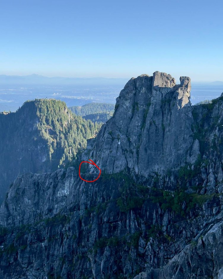
The teen left Grouse Mountain at approximately 8 a.m. on Oct. 3, 2026, with Crown Mountain as his destination. The AI-suggested route directed him through Crown Pass, Crater Slabs and Crown Couloir before he reached the final headwall of the Widowmaker Arete, a route described in reporting as technical climbing terrain.
North Shore Rescue search manager Paul Markey confirmed the hiker had gone “far off the Crown hiking route,” according to CTV News.
Markey said the teen was frightened and appeared to fear for his life.
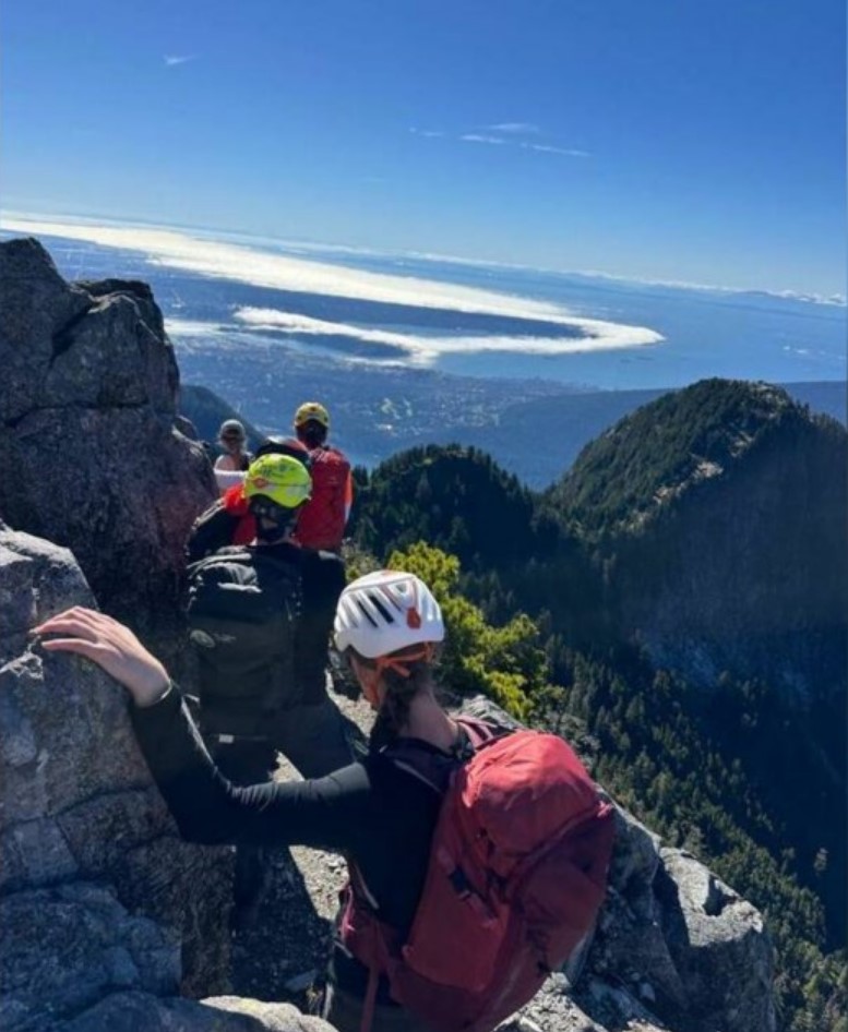
Rescue personnel established his location by phone. Because the vertical wall made a direct helicopter approach impossible, two technicians were lowered from the aircraft to a position above him. He was then moved to a suitable extraction point and hoisted to safety at approximately 6:30 p.m.
North Shore Rescue had conducted helicopter training on Crown Mountain earlier that same morning, which gave the team recent familiarity with the area.
A Pattern That Rescue Authorities Are Starting to Notice
The Crown Mountain rescue was not an isolated case; a strikingly similar situation unfolded on a California peak just weeks earlier.
In September 2026, three novice hikers needed rescue on California’s Mount Shasta after relying heavily on Google Gemini for route and packing advice. The Siskiyou County Sheriff’s Office said Gemini advised them to bring far less food and water than the group required, turning an intended eight-hour ascent into a multiday ordeal.
Two rescues, two different AI tools, the same reported failure: confident-sounding advice without the terrain judgment to support it. That pattern, based on the available evidence, is worth treating as analysis rather than a confirmed technical finding about how these systems work.
Markey urged hikers not to follow AI-generated routes without questioning whether the information actually makes sense, according to CTV News. He named Gaia GPS, CalTopo and AllTrails as more appropriate navigation tools, while stressing that even those require users to understand the terrain and verify conditions independently.
The Siskiyou County Sheriff’s Office issued similar guidance after the Mount Shasta rescue, advising climbers to contact the local U.S. Forest Service Mount Shasta Ranger Station rather than rely solely on AI for trip planning.
AI can organize information, summarize trail names and suggest a logical-sounding sequence. It cannot see the cliff waiting at the end of the route. Until these tools can reliably flag when a hiking question has crossed into technical climbing territory, verifying the answer against authoritative maps and local conditions is your call, not the chatbot’s.