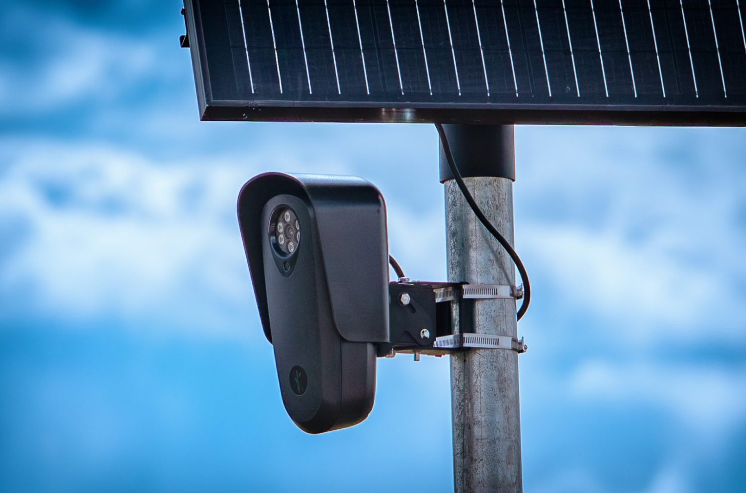




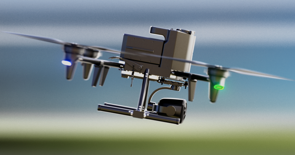
A 911 call drops. Before a single officer clears the precinct parking lot, a drone lifts off a rooftop dock and is already airborne, camera rolling. That’s the pitch from Flock Safety — the company whose roadside license-plate readers you’ve probably driven past without noticing. Drone as First Responder is now Flock’s fastest-growing business segment, with more than 200 customers across police departments and private companies. The question worth asking: faster for whom, and watched by what?
What the Alpha Drone Actually Does
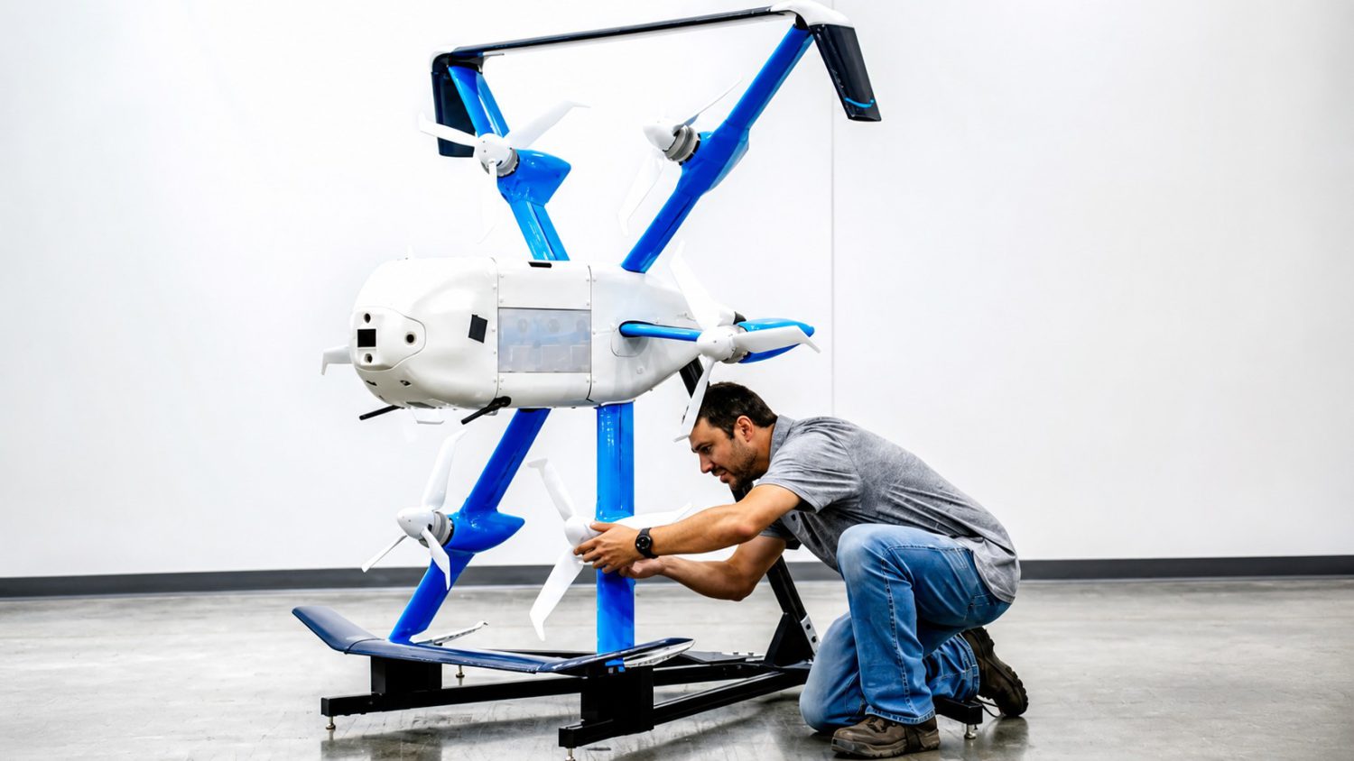
Alpha drone hits 60 mph, reads plates from 2,000 feet, and launches itself.
Flock’s Alpha drone carries a 40x optical zoom camera, reaches 60 mph, and can reportedly read a license plate from up to 2,000 feet away. It sits docked in a climate-controlled rooftop station — usually at a precinct or fire department — and launches automatically when triggered. According to Flock Safety, the performance numbers are hard to dismiss:
- Reaches incidents in an average of 86 seconds
- Resolves 20% of calls without dispatching an officer
- Triggered by 911 calls, ALPR hits, gunshot detection, or manual operator control
- Docked in climate-controlled rooftop stations at precincts
- Alpha is NDAA-compliant and U.S.-assembled, per Flock
Those response figures come from Flock’s own marketing and FAQ — they haven’t been independently benchmarked — but even taken at face value, they raise a harder question about what gets built on top of them.
“Very little state regulation and zero federal regulation outside of air safety.” — Flock CEO Garrett Langley
Surveillance With Wings – and Almost No Rulebook
Flock’s best argument is a lighter mistaken for a gun; its weakest is that self-auditing substitutes for real oversight.
Flock CEO Garrett Langley points to a Dallas-Fort Worth case where a drone arrived in under a minute and showed that a suspected gun was actually a lighter. That’s a genuinely useful outcome, and it deserves acknowledgment.
The harder context is this: Flock’s fixed ALPR network already drew contract cancellations, misuse allegations, and documented concerns about false alerts and overly broad data sharing. DFR is that same surveillance model — just with altitude added. The jump from roadside cameras to autonomous flying plate-readers is the surveillance equivalent of going from Google Street View to a drone that follows your car home — familiar enough to unsettle, new enough to outpace any guardrails.
The Electronic Frontier Foundation and the ACLU warn that drones can observe backyards, rooftops, and through windows — generating durable, searchable location records that extend far beyond any single incident. More than 1,000 public-safety agencies had received FAA waivers as of February 2026, according to EFF reporting based on public records.
Flock says flights are limited to calls for service, and that each flight is logged, auditable, and visible through a transparency dashboard. That’s worth noting. It isn’t a substitute for actual regulation — a gap Langley himself confirmed when describing the current oversight landscape.
The Real Question Nobody Has Answered
Cities that pushed back on fixed cameras now face the same company — except the cameras fly.
Cities already resistant to Flock’s ground-level surveillance now face a harder conversation. The technology works, at least by the company’s own metrics. Whether meaningful oversight keeps pace is still an open question — and Flock is scaling fast enough that the answer may arrive after the infrastructure is already embedded in hundreds of communities.