




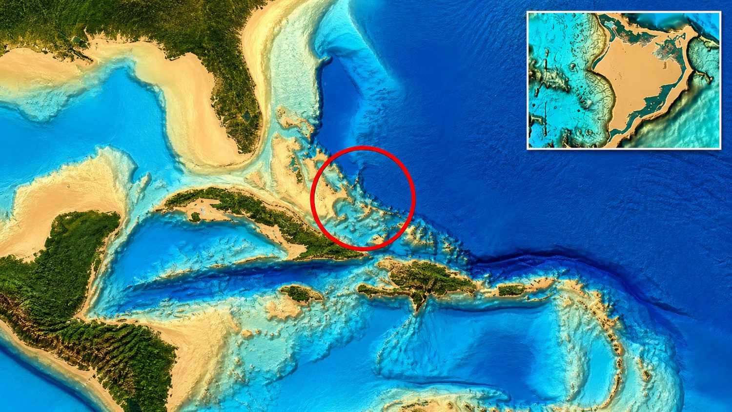
A seven-mile geometric pattern on the seafloor near the Bermuda Triangle sounds like the setup for a prestige streaming docuseries — complete with ominous narration and dramatic underwater drone footage. What it actually is, probably, is a rendering artifact. That distinction matters more than you might think, because ocean-floor mapping is one of the most genuinely exciting scientific frontiers operating right now, which makes it extraordinarily fertile ground for misreading compelling-looking data. Much like how lost civilization discoveries in the Amazon relied on cutting-edge remote sensing before anyone could separate data from reality.
What the Maps Actually Show
The claim is vivid and easy to picture — the evidence is a squint at interpolated bathymetric data.
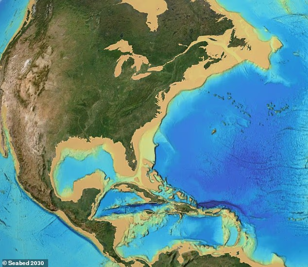
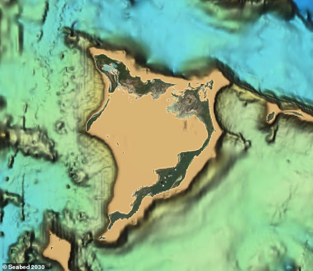
Scott C. Waring, a self-described UFO researcher, says he spotted faint parallel and intersecting lines in Seabed 2030 data off Cuba and Haiti. The apparent feature stretches seven to eight miles in one direction and roughly three miles in the other. Waring speculated it could be an ancient human settlement — or ancient alien construction, though he leaned toward the human explanation — possibly lost after an earthquake destabilized the region. He offered no archaeological or geological proof for either hypothesis.
Here’s the mechanical problem with that interpretation. Seabed 2030 is a global initiative to map the entire ocean floor by 2030, and it’s genuinely important work. Gaps in sonar coverage are routinely filled with satellite observations and computer-generated estimates — a process that can produce straight lines, grids, and clean geometric shapes that don’t correspond to anything physically present on the seabed. You’re not always looking at the ocean floor. Sometimes you’re looking at the math.
Until a site is checked with the following, the “sunken city” remains an interpretation of map patterns, not a verified archaeological discovery:
- detailed sonar surveys
- underwater photography
- physical artifacts — worked stone, pottery, tools
The Bermuda Triangle Problem
NOAA disagrees with the framing, firmly and on the record.
The Bermuda Triangle angle does a lot of heavy lifting here that the evidence simply can’t support. NOAA is unambiguous: there’s no statistical evidence that disappearances occur more frequently in the Bermuda Triangle than in any other heavily traveled stretch of ocean. Severe storms, the Gulf Stream, shallow waters, and human error account for documented incidents. The Triangle is cultural mythology wearing geography’s clothes — a vivid label attached to a real patch of water that doesn’t behave any more mysteriously than the rest of it.
No credentialed archaeologists or marine scientists have publicly examined Waring’s site in any way that validates the claim. None. That absence isn’t a minor caveat — it’s the whole story.
About 80 percent of the ocean floor remains poorly mapped. Real discoveries are coming — that’s not speculation, it’s trajectory backed by Seabed 2030’s own progress reports. The challenge is developing the critical eye to distinguish a lost city from a line drawn by an algorithm. As the maps improve and data gaps close, that skill becomes everything.