



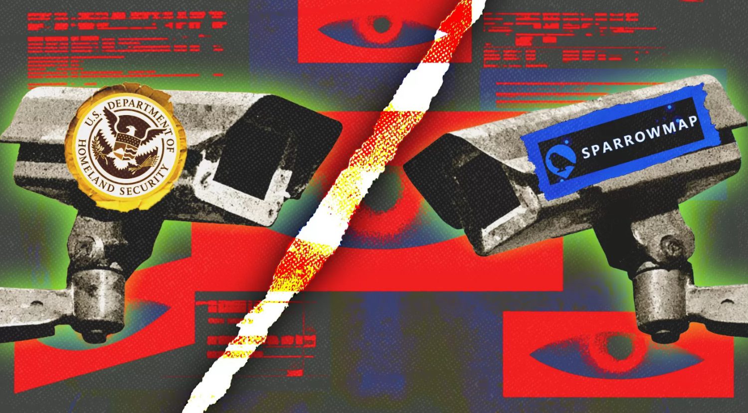
A surveillance app state intelligence report acknowledged no known criminal threat from a counter-surveillance platform, yet that report still moved through the national fusion-center network. Records obtained by Reason show a Massachusetts intelligence product was redistributed through a Wisconsin fusion center. The report documented online critics of automated license plate readers (ALPRs) and specifically identified SparrowMap, a platform that tracks government vehicles using public and volunteer-contributed camera feeds.
The report’s circulation sits at the center of a growing civil-liberties debate: at what point does monitoring a transparency project become treating lawful criticism as a security threat? That question carries added weight following President Trump’s signing of National Security Presidential Memorandum 7 (NSPM-7) on September 25, 2025, which directed federal agencies to address domestic extremism and organized political violence.
How SparrowMap Works
The platform was built as a direct response to ALPR expansion that its founder says happened without public input.
Matthew Montney Jr. created SparrowMap after watching license plate readers appear on public roads with no community input. “License plate readers went up on my roads without anyone asking, and the data only goes one way,” Montney told Reason.
His platform applies a similar approach in the other direction. According to Reason’s reporting and SparrowMap’s own descriptions, it uses publicly available livestreams and volunteer-supplied cameras to identify and display some government-vehicle movements.
The technical design limits centralized data collection. Vehicle recognition runs on contributors’ devices rather than on central servers, and raw video is never uploaded. Non-government detections are anonymized and removed quickly, and users confirm government-vehicle identifications before anything is published.
SparrowMap says its network processes roughly 300,000 vehicles daily through approximately 14,196 cameras. Those figures come from the organization itself and have not been independently verified. The project’s source code is reported to be publicly available on GitHub, though the specific repository was not independently confirmed for this article.
What the Intelligence Report Actually Said
The fusion center’s own language acknowledged no identified criminal intent, even as the report moved through the national intelligence network.
The Massachusetts Commonwealth Fusion Center’s report, as described by Reason, tracked online discussions encouraging users to upload footage of government vehicles, including ICE vehicles, to SparrowMap. It referenced August 2026 Reddit threads and noted proposals for a camera mesh network and an oversight committee.
The report then included a caveat that cuts against its own threat framing. As quoted by Reason, the document states: “The CFC has no indication threat actors within the Commonwealth intend to leverage this information for criminal or nefarious purposes.”
That sentence matters. Being named in an intelligence report is not evidence of criminal conduct, and the fusion center’s own language reflects that distinction. The report still circulated through the network, reaching Wisconsin, illustrating how state-level intelligence products move across the post-9/11 fusion-center system.
NSPM-7 directs agencies to investigate conduct including organized doxxing, swatting, rioting, and property destruction, according to GovExec. Civil-liberties organizations have raised concerns about how secretly tracking users broadly the administration may interpret that directive, though no specific group’s formal statement was available for this article.
Claims about bipartisan legislative proposals to restrict ALPR systems have been reported but could not be independently confirmed with bill numbers or official records for this article. Both SparrowMap and the ALPR systems it monitors use networked cameras, automated recognition, and location data collected from public roads. The accountability structures surrounding each, however, differ significantly: law-enforcement ALPR deployments operate within institutional and legal frameworks, while SparrowMap relies on volunteer cameras, public feeds, and openly available code.