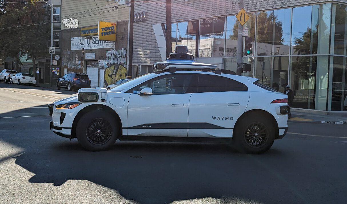
Tire-shredding potholes shouldn’t ambush your morning commute, yet Waymo’s robotaxis now spot these road craters before they destroy your suspension. The Alphabet-owned company launched a pilot program on April 9, 2026, channeling pothole data from its sensor-equipped fleet directly to Waze users and city maintenance crews across five markets.
Sensors Replace Spotty 311 Calls
Cameras, lidar, and radar create consistent hazard detection streams.
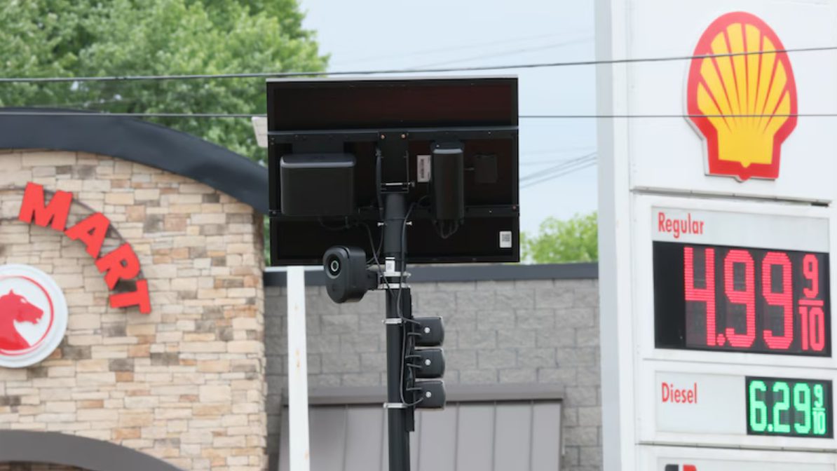
Waymo’s robotaxis automatically detect potholes using the same sensor suite that keeps them from crashing into barriers. Unlike the hit-or-miss nature of 311 calls from frustrated drivers, these rolling data collectors provide systematic coverage across Austin, Atlanta, Los Angeles, Phoenix, and the San Francisco Bay Area. The company has already identified over 500 potholes through this process—no human reporting required.
Cities Get Repair Lists, Drivers Get Warnings
Waze app users can verify pothole locations while officials prioritize fixes.
The data flows two directions: city officials receive repair coordinates for faster maintenance scheduling, while Waze users see pothole warnings on their route maps. You can even verify these hazards through the app, improving accuracy like some kind of crowdsourced road quality control. San Jose and other Bay Area cities are already receiving these automated reports, according to Insider GovTech.
Strategic Goodwill Meets Genuine Utility
Expansion plans benefit from “good neighbor” positioning with local governments.
Sarah Kaufman from NYU’s Rudin Center for Transportation calls this the “good neighbor principle in action,” noting how Waymo shares data that helps cities fix problems faster and makes streets safer for everyone. Smart timing, considering Waymo plans expansion to over 20 cities. Building goodwill with local officials doesn’t hurt when you’re requesting permits for robotaxi operations that still make some people nervous.
Beyond Potholes Lies Broader Infrastructure Mapping
Road crack detection and debris reporting could follow this pilot’s success.
This marks the first time robotaxis have tackled infrastructure mapping at scale, according to Waymo’s announcement. If successful, expect the company to expand beyond potholes—road cracks, debris, and other hazards could all become part of the data stream. Your daily commute might soon benefit from the most comprehensive road monitoring system ever deployed.