



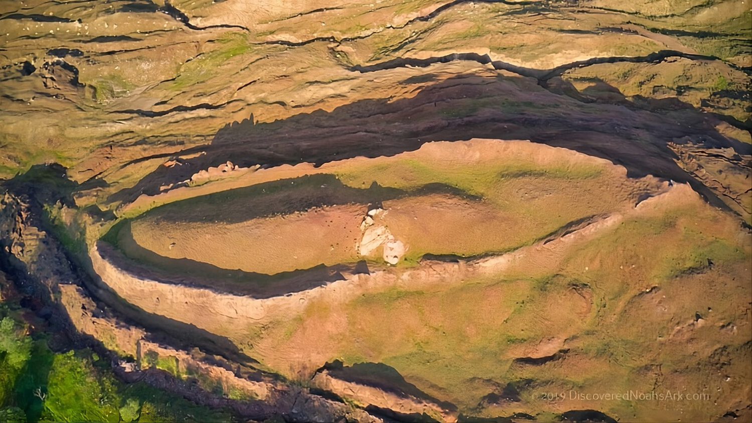
A boat-shaped hill in eastern Turkey has drawn renewed scientific attention after a research team reported unusual underground patterns they interpret as corridors, chambers, and right-angle intersections. The site is the Durupınar formation in Ağrı Province, near Mount Ararat, and the findings are preliminary, disputed, and far from settled.
What the Team Found
The group Noah’s Ark Scans says its scans revealed organized subsurface signals beneath the approximately 515-foot formation, though no independent body has confirmed those signals represent a human-made structure.
The expedition describes the detected features as hallways, straight lines, and angular intersections beneath the mound. The group has characterized the site as “100% not geological,” but that is the team’s own conclusion, not an accepted scientific finding.
The Technology Behind the Scans
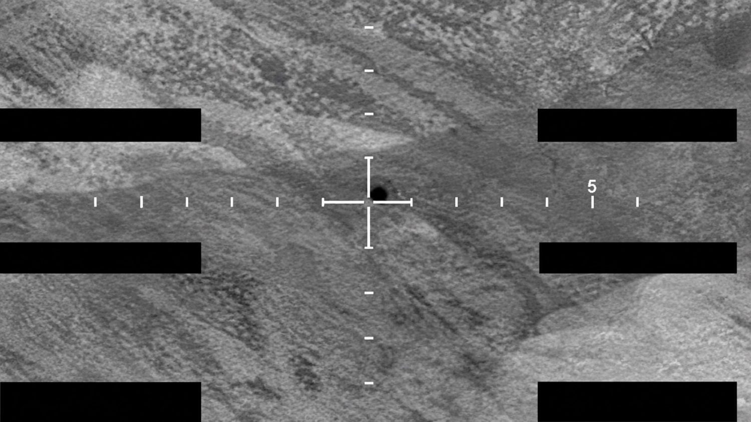
Dr. Khosrow Bakhtar led the imaging work using a proprietary system the project says can map buried features in three dimensions, though its capabilities have not been independently validated.
His system, called BakhtarRadar, is described by the project as a near-field volumetric imaging tool based on Forced-Resonance Imaging. According to the project, it produces a three-dimensional map of signal contrasts underground and filters out geological noise to isolate possible subsurface boundaries or cavities.
The broader toolkit included ground-penetrating radar, electrical resistivity tomography, LiDAR, GPS mapping, soil sampling, and core drilling. These methods can detect contrasts in density, moisture, and electrical resistance underground, but none of them can independently identify what caused those contrasts.
Who Authorized the Work
The expedition was led by an academic team from a Turkish university, with fieldwork reportedly conducted under government-issued permits.
Prof. Dr. Cenker Atila of Sivas Cumhuriyet University directed the expedition, working with Turkish and international researchers. According to the project, fieldwork was conducted under permits from relevant Turkish government agencies, though no specific ministry or authorization document has been confirmed in publicly available materials.
Why Geologists Remain Skeptical
Geologists who have studied the Durupınar formation have generally interpreted it as a natural landform, and previous investigations produced no archaeological evidence.
Those researchers typically describe the feature as a syncline shaped by rock folding, landslides, and erosion over millennia. Natural rock layers in such environments can generate angular intersections and straight-looking boundaries. Radar registers those features as anomalies without any human construction involved.
Earlier investigations at the site found no archaeological evidence to support the ark interpretation. Stronger proof would require identifiable worked timber, manufactured materials, or datable cultural deposits. An artificial construction pattern would also need confirmation from researchers unaffiliated with the project.
What Happens Next
Laboratory analysis of physical samples is the decisive next step, and the results could either challenge or reinforce the natural-formation explanation.
Researchers have collected roughly 1,000 soil samples from approximately 150 locations, and permitted core drilling is underway, with at least one drill encounter reported at a hard layer near four to five meters depth. Radar images show contrasts underground. They do not prove those contrasts are corridors, chambers, or parts of a ship.
Until physical samples are tested and the full scan data is reviewed by independent experts, the Durupınar findings remain what they are: unusual underground signals at a disputed site. The evidence needed to turn interpretation into fact has not yet surfaced.