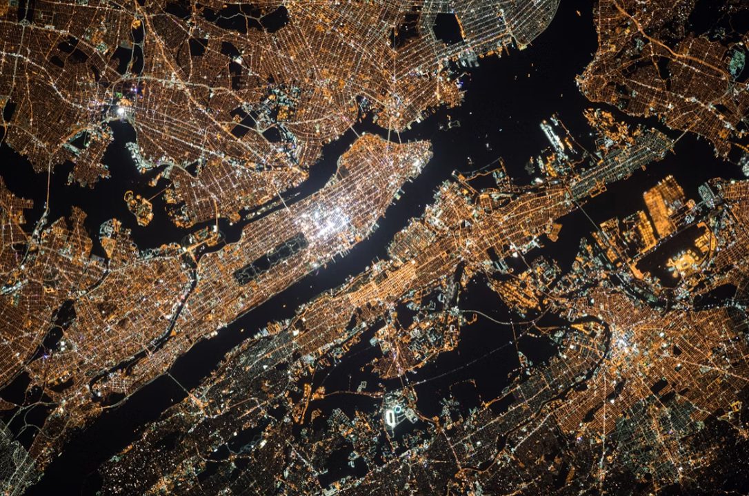
Need to track deforestation in real-time? The same satellite data that once cost governments millions now sits waiting in your browser. What began as classified military technology has exploded into public access platforms that rival Netflix for ease of use. Google Earth Engine, NASA’s Landsat Archive, and Europe’s Sentinel program have cracked open the vault of space-based surveillance. You’re no longer waiting for official reports about environmental disasters or urban sprawl—you can watch them unfold yourself.
Free Data, Revolutionary Access
NASA and ESA transformed satellite monitoring by making decades of imagery freely available to anyone with internet access.
Satellite software comprises multiple tools that we can use to see what’s happening even in the most distant parts of the world. Every person can monitor Earth in real time with satellite images of the highest quality – you just need to decide what kind of data you’re interested in getting. NASA’s Landsat Archive contains Earth imagery stretching back to 1972, and it’s been completely free since 2008. USGS reports that downloads surged dramatically once the paywall disappeared. Since the access to Landsat became free, the number of downloads has skyrocketed. Based on the survey, in 2011 alone, people requested 2,918,826 real-time satellite images of Earth from this program. Meanwhile, ESA’s Copernicus program delivers fresh satellite views every five days through its Sentinel constellation. You’re getting radar and optical data that works regardless of clouds or darkness.
Real Impact, Real Users
Indigenous groups in Peru and activists in Bangalore prove satellite monitoring creates accountability where traditional oversight fails.
Indigenous communities in Peru now use satellite data to monitor forest depletion and alert their networks before destruction spreads; after observing a 4% reduction, they reported their findings, catching the attention of local communities and external stakeholders. Bangalore activists employed real-time imagery to document disappearing lakes, sparking local conservation efforts that official channels had ignored. The SpyMeSat mobile app lets you order fresh satellite imagery directly from your phone, like requesting an Uber but for space-based surveillance. This isn’t academic anymore—it’s grassroots environmental protection powered by orbital infrastructure.
Commercial Tools for Serious Users
Advanced platforms like Ursa Space and SpaceKnow bring AI-powered analytics to smaller organizations seeking custom monitoring solutions.
Commercial services now serve nonprofits and local governments, not just Fortune 500 companies. Platforms like Ursa Space integrate optical and radar data with machine learning that automatically detects changes and sends alerts. Hurricane Harvey responders used UAVSAR and Sentinel-1 imagery for rapid damage assessment, according to emergency management reports. Cloud-based interfaces eliminate the need for specialized hardware or advanced degrees in remote sensing.
The democratization of satellite monitoring means transparency advocates, researchers, and curious citizens can finally see what’s happening from space. Government agencies and corporations no longer control the narrative when anyone can verify claims with orbital evidence. Your next environmental investigation might start 400 miles above Earth.